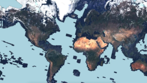
The Allen AI Institute launched the first-of-its-kind map of the world’s renewable energy projects and tree distribution Satlas, which uses generative artificial intelligence to sharpen images taken from space. Allen AI Institute is created by Microsoft co-founder Paul Allen.
The new tool uses images from the European Space Agency’s Sentinel-2 satellites, but these images still provide a rather hazy view of the ground. The new app uses deep learning models to create high-resolution images to show details like buildings.
Currently, Satlas focuses on renewable energy projects and wood cladding around the world. The data is updated monthly and covers parts of the planet observed by Sentinel-2. It covers most of the world except parts of Antarctica and open oceans far from land.
Source: The Verge

